THE GLOBAL PULSE OF FOOD & AGRICULTURETürkçe ↗
Egypt

Egypt Uses Artificial Intelligence and Satellite Data in Water Distribution Decisions

The Egyptian Ministry of Water Resources and Irrigation uses satellite imagery, drones, forecasting models, and machine learning to support water distribution decisions, determine the actual product pattern, and monitor irrigation projects. The ministry also aims to use water resources more effectively with rainfall and flood forecasts.

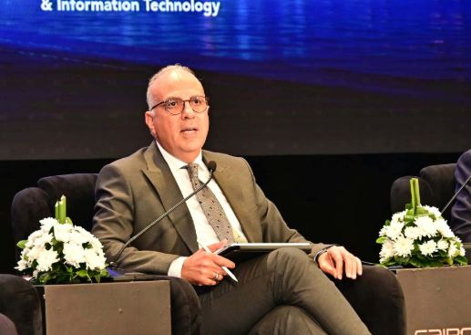
Egypt, Uses Artificial Intelligence and Satellite Data in Water Distribution Decisions — source image
Photo: Al-Shorouk

Minister of Water Resources and Irrigation Hani Suezim announced that digital twin application for the Ismailiye Canal was being conducted and drainage data was digitized with 55,000 kilometres of canal. The ministry is also expanding the use of telemetry to monitor water systems instantaneously.

The first phase of the digital platform, developed for private sites, is planned to inventory about 17,000 kilometres of area. The ministry also digitizes services offered to citizens, including permits for work on the Nile River and coastal areas with groundwater. Suezim said that the implementation of data security and cybersecurity standards, as well as cooperation with technology companies, should be increased.

Sources

English translation of AgroAjans’s Turkish report. Original publishers are linked above.

More from around the world

Latest news →